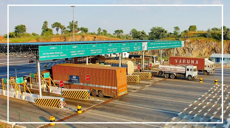
The National Highways Authority of India (NHAI) is using GIS-based software to monitor traffic at around 100 toll plazas across the country.
This move aims to streamline traffic flow on the National Highway. The toll plazas selected for this monitoring are based on feedback received from the NHAI helpline.
The software’s live monitoring system will provide real-time alerts about congestion
and suggest lane adjustments if vehicle queues exceed the set limit. Over time, this monitoring service will be extended to more toll plazas.
How the Software Works
The GIS software provides detailed information for each toll plaza, including its name, location, queue length status, waiting time, and vehicle speed.

It also issues congestion alerts and suggests lane changes during heavy traffic. With this technology, NHAI will receive regular reports on traffic conditions.
Additionally, the software provides data on current weather conditions and local festivals, helping NHAI officials to create better traffic management plans.
A Major Technological Step for NHAI
This system allows for the analysis of traffic congestion on an hourly, daily, weekly, and monthly basis.

This is the NHAI’s most significant technological initiative to date, with GIS-based software now implemented at 100 toll plazas across the country.