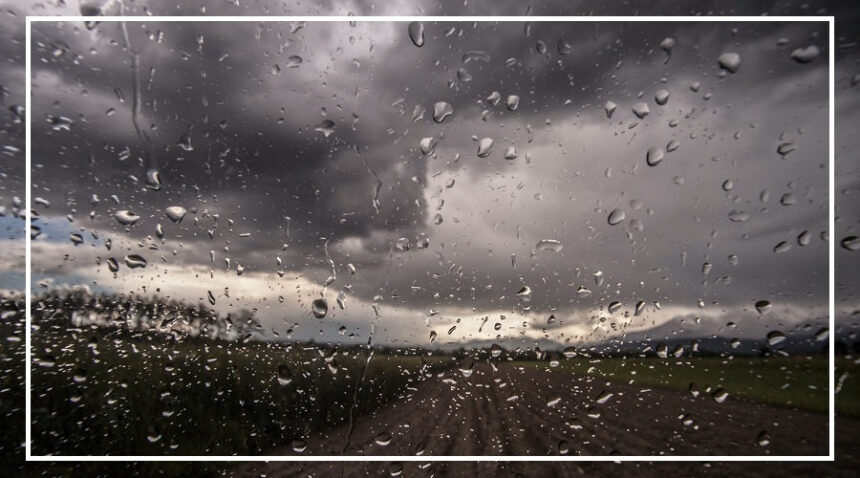
As summer slowly approaches, the weather is taking an unexpected turn.
While temperatures were expected to rise, rain and cold conditions are making a comeback in several parts of the country.
The Meteorological Department has issued fresh alerts for heavy rain, strong winds, lightning, and dense fog in multiple states.
If you are planning to travel, especially to hilly regions, checking the latest weather update is important.
Heavy Rain Alert in Three States
Heavy rainfall is expected in the next 12 hours in Jammu and Kashmir, Ladakh, and Arunachal Pradesh.

Wind speeds may reach 40 to 50 km per hour.
Thunderstorms and lightning are also likely.
Due to this sudden change, temperatures may drop again and cold conditions could increase until February 16.
Farmers have been advised to avoid open fields during this period.
Dense Fog to Disrupt North India
Even though the harsh winter has weakened, dense fog continues to affect many parts of North India.
Morning visibility is expected to remain low in several districts of Uttar Pradesh, Haryana, and Punjab.
Cities like Agra, Lucknow, Kanpur, Gurugram, Amritsar, Ludhiana and many others may experience moderate to dense fog.
Commuters are advised to drive carefully during early hours.
Delhi Weather Update
In Delhi, the weather will remain clear on February 13. There is no rain forecast today.

However, mornings will still feel chilly.
The maximum temperature is expected to be 24°C and the minimum around 12°C.
With no rainfall, pollution levels have started rising again.
AQI has crossed 200 in several areas. Clouds may appear by evening.
Uttar Pradesh and Bihar: Cold Mornings Continue
There is no major weather change expected in Uttar Pradesh and Bihar in the next 24 hours.
However, fog will remain a concern in cities like Gorakhpur, Prayagraj, Bareilly, Patna, Gaya and Bhagalpur.
In Lucknow, the temperature may range between 12°C and 26°C. In Patna, it will likely stay between 12°C and 26°C as well.
Uttarakhand and Himachal: Rain and Snow Ahead
The weather will remain clear for now in Uttarakhand, but heavy rain is expected between February 16 and 18.
Snowfall is possible in higher altitude areas. Districts like Chamoli, Rudraprayag, Tehri Garhwal and Pauri Garhwal may receive rain.
In Himachal Pradesh, conditions will stay normal today.
However, heavy rain and snowfall are expected after February 16 in districts such as Mandi, Chamba and Kullu.
In Manali, temperatures could drop drastically, with the maximum around 1°C and minimum touching minus 10°C.
Jammu and Kashmir: Temperature Drop Likely
Cloudy skies are expected across parts of Jammu and Kashmir, including Srinagar, Gulmarg and Sonamarg.
Rain is likely in the next 12 hours in districts like Jammu, Samba and Kathua. In Srinagar, temperatures may range between minus 1°C and 9°C.
Relief from cold conditions may come after February 20.
Rajasthan and Madhya Pradesh: Clear for Now
The weather in Rajasthan will stay clear for the next four days.
However, rain may return on February 17 in Jaipur, Bharatpur, Alwar and nearby districts.
In Madhya Pradesh, skies will remain clear until Monday.
Light rain is expected in districts such as Mandla, Pachmarhi, Sidhi and Seoni from Tuesday onward.
Bhopal may record a maximum temperature of 29°C and a minimum of 16°C today.
With rain alerts, fog warnings and temperature swings across several states, the weather remains unpredictable.
Travelers, farmers and daily commuters are advised to stay updated and take necessary precautions.