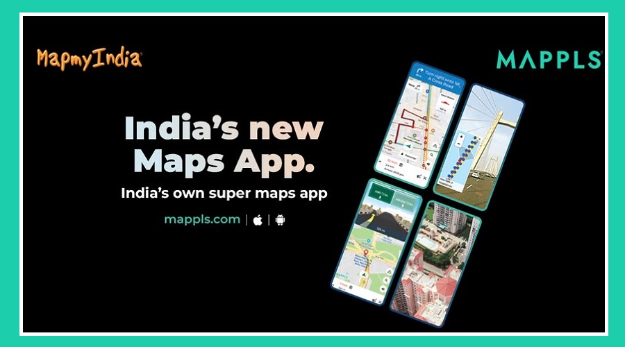
India has introduced a new navigation app called Mappls by MapMyIndia, aimed at promoting self-reliant technologies.
Union Minister Ashwini Vaishnaw recently tested the app and emphasized the importance of domestic innovations that can match global standards.
The app is part of the Atmanirbhar Bharat initiative, focusing on reducing reliance on foreign technologies while ensuring better user data security.
What Mappls Offers
Mappls is designed to make road travel easier and more efficient with intelligent features:
3D junction views and real-time driving alerts

Doorstep navigation for precise routes
Travel cost estimation before starting the journey
Warnings for accident-prone areas and speed breakers

Live updates on traffic signals and CCTV feeds
These tools are meant to enhance the overall travel experience and help users reach their destinations safely and efficiently.
Collaboration with Indian Railways
The Indian government plans to integrate Mappls with railway systems through an upcoming MoU.
This collaboration will expand the app’s capabilities to station navigation and train travel management, helping passengers navigate large railway stations more easily.
Focus on Privacy
One of Mappls’ biggest advantages over foreign navigation apps is data privacy.
Unlike international platforms that store user data abroad, Mappls keeps all map and user information within India, ensuring greater security and privacy for users.

MapMyIndia and DIGIPIN
MapMyIndia, the company behind Mappls, also developed DIGIPIN, India’s new digital address system.
Created in collaboration with India Post, IIT Hyderabad, and ISRO’s NRSC, DIGIPIN generates unique codes for every 3.8 square meters across the country.
DIGIPIN allows accurate location identification even in rural areas. Users can pin precise locations, down to floors and house numbers, or use nearby landmarks in less mapped areas.
This ensures everyone can be located accurately, supporting better navigation and delivery services.
With Mappls, India takes a big step toward self-reliant digital mapping and safer, more efficient travel across the country.