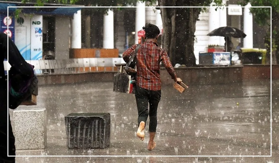
After a prolonged period, the weather in various parts of the country is starting to change.
In the north, western disturbances began affecting the mountainous regions of Jammu and Kashmir late Tuesday night.
In the east, a cyclonic circulation has formed in the Bay of Bengal, bringing a chance of rain to the coastal areas.
Smog and Pollution in Northern India
Meanwhile, the southern states are experiencing continuous rainfall. On Wednesday, thick smog covered a large part of North India, including Delhi.
Initially mistaken for fog, this haze is actually a mix of pollution and mist. The current smog in Delhi is due to winds carrying pollutants from Gujarat and Rajasthan.
Weather Forecast and Temperature Changes
Meteorologists expect that in two days, when winds from the northwest begin, the temperature in the northern plains will gradually drop.
Over the next three to four days, temperatures are likely to decrease further, although extreme cold is not expected unless there is heavy snowfall in the mountains.
The light snowfall currently occurring in Jammu and Kashmir has caused a slight dip in temperature, but no major changes have been observed.
Weak Western Disturbances and Smog in Delhi
Another western disturbance is expected in the northern mountains on Thursday, but it is not particularly strong, so temperatures are not likely to fall significantly.
In previous years, multiple strong western disturbances typically arrived before mid-November, causing temperatures to drop.
Due to low pressure in the Bay of Bengal, moisture is flowing from Andhra Pradesh to Telangana, also impacting Odisha and Chhattisgarh.
According to Skymet, the wind speed heading toward Delhi is very low, causing pollution levels to remain high and the sky to stay hazy.
If the wind were blowing at 15 to 20 km per hour, the smog situation in Delhi would likely improve.


